The address
The district town
Shops and the bus stop
- ProvinceRatchaburi1
- RoleShops and buses
- MarketA short way off
Find a stop on the map
See 26 route stops
Start by picking a route; tap a pin or stop for its note and Google Maps.
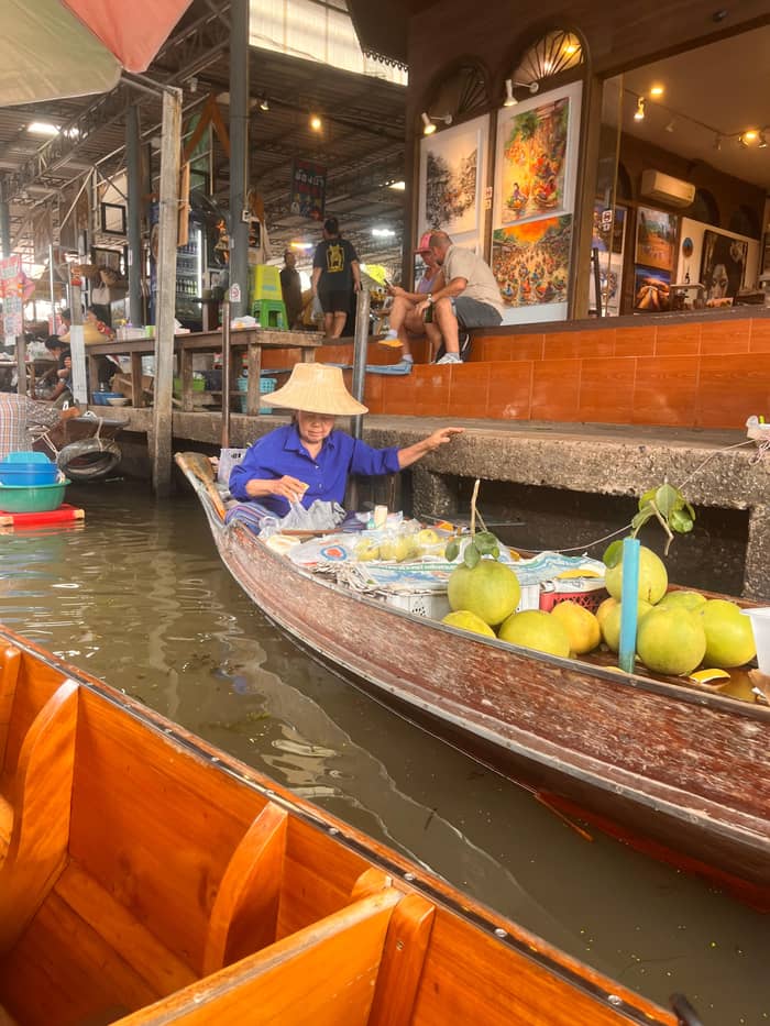
The floating market runs along the canals of Damnoen Saduak in Ratchaburi, about 80 km west of Bangkok.
Google MapsLao Tak Lak, drawn beside the main market on the map, is called Thailand's first traditional floating market.
Google MapsA temple on the canal north-west of the main market, shown here to place the market in the town.
Google MapsA public bus and minivan stop of the district town of Damnoen Saduak.
Google MapsAn elephant show park south-east of the market. This guide does not recommend riding; see the nearby page for the welfare notes.
Google MapsAmphawa is open Friday, Saturday and Sunday.
Google MapsThe railway market in Samut Songkhram, the second market of the combined day tours.
Google MapsThe museum building was formerly the town hall, built in 1922.
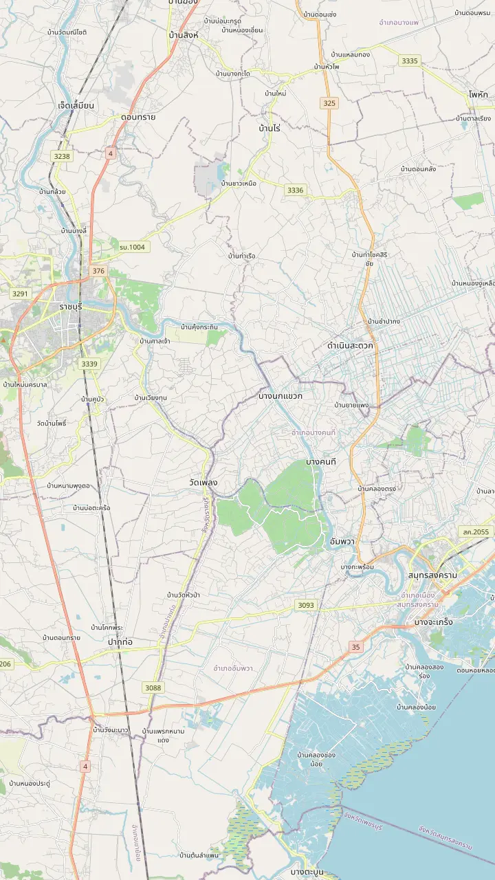
Google Maps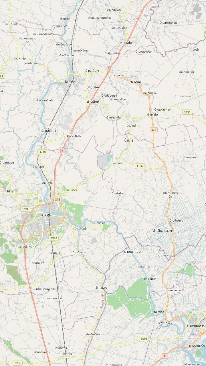
The floating market runs along the canals of Damnoen Saduak in Ratchaburi, about 80 km west of Bangkok.
Google MapsLao Tak Lak, drawn beside the main market on the map, is called Thailand's first traditional floating market.
Google MapsA temple on the canal north-west of the main market, shown here to place the market in the town.
Google MapsThe museum building was formerly the town hall, built in 1922.
Google MapsA traditional Thai-style house holding Nang Yai shadow puppets.
Google MapsAmphawa is open Friday, Saturday and Sunday.
Google Maps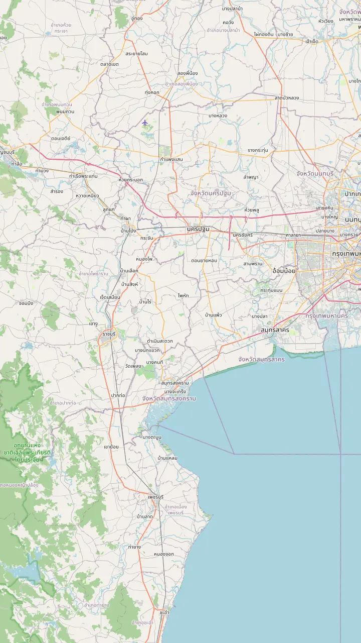
The railway market in Samut Songkhram, the second market of the combined day tours.
Google MapsAmphawa is open Friday, Saturday and Sunday.
Google MapsLao Tak Lak, drawn beside the main market on the map, is called Thailand's first traditional floating market.
Google MapsAn elephant show park south-east of the market. This guide does not recommend riding; see the nearby page for the welfare notes.
Google MapsThe museum building was formerly the town hall, built in 1922.
Google MapsA traditional Thai-style house holding Nang Yai shadow puppets.
Google MapsThe Wat Sam Phran Dragon Temple is in Nakhon Pathom province, east of the market.
Google Maps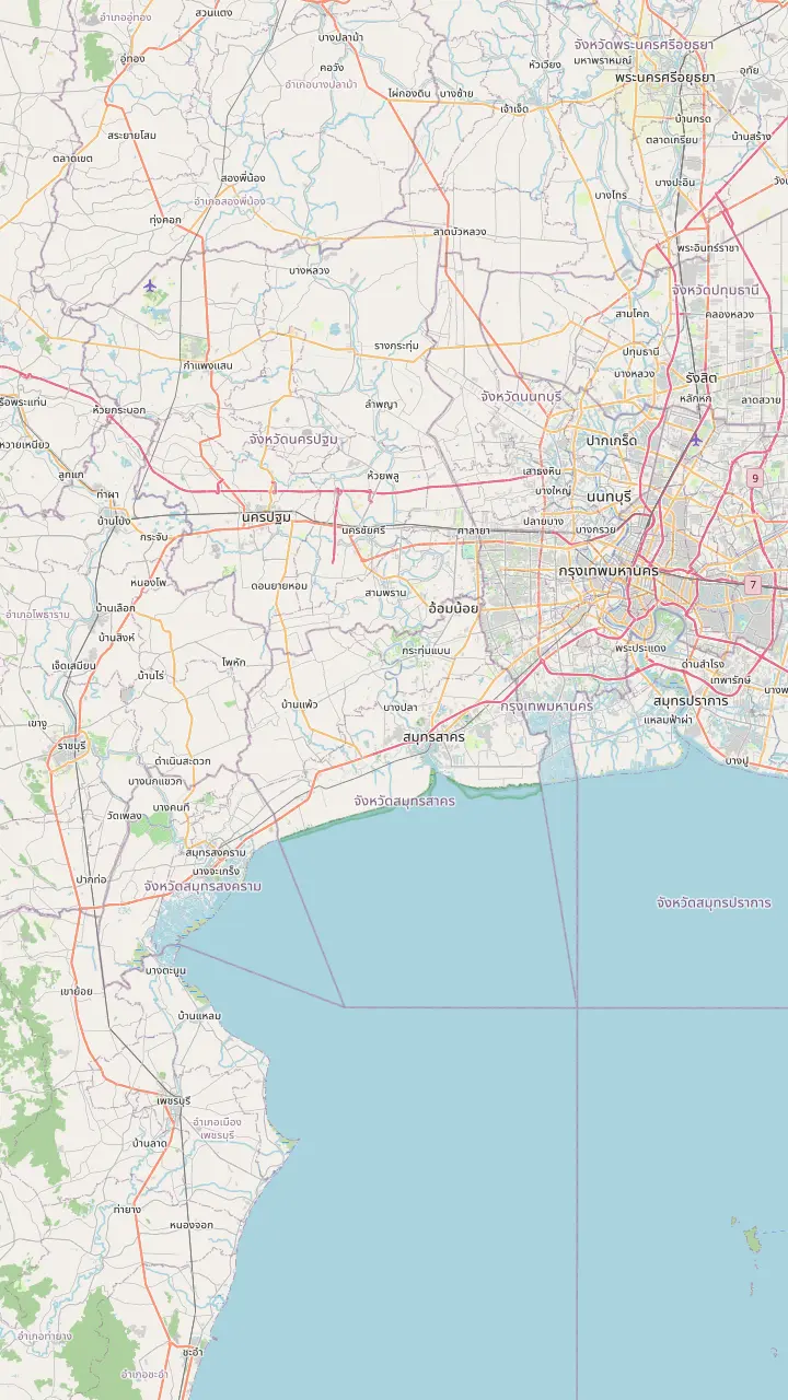
The Grand Palace area in the old town, used here only as a Bangkok reference point.
Google MapsBangkok's Southern Bus Terminal, where buses and minivans to the west leave from.
Google MapsA public bus and minivan stop of the district town of Damnoen Saduak.
Google MapsThe floating market runs along the canals of Damnoen Saduak in Ratchaburi, about 80 km west of Bangkok.
Google MapsThe railway market in Samut Songkhram, the second market of the combined day tours.
Google MapsMap data: © OpenStreetMap contributors
A map-first guide to the district: the province it belongs to, the canals that shape it, the markets next door in Samut Songkhram and what a day tour does with the distances.
Editorial team, damnoensaduaktour.com · Updated November 12, 2026 · Takes 8 min
The essentials
Damnoen Saduak is a district town in Ratchaburi province, in the flat, watery country west of Bangkok. The Tourism Authority of Thailand places Ratchaburi 80 km west of the capital and describes it as bordering Myanmar,1 which already tells you something: this is a different province with its own rhythm, not a suburb. TAT also lists Ratchaburi among Thailand's 55 secondary destinations, rich in ancient history and natural attractions.6 Anyone who asks where is the Damnoen Saduak floating market is trying to place it on a map before booking, and the short answer is the eastern side of the province, close to the Samut Songkhram border.
Bangkokians have treated Ratchaburi as a weekend escape for a long time. TAT calls it a perfect getaway for people who want to leave the city for the countryside.7 Per the same feature, Ratchaburi in the Dvaravati period was a key trading hub of the Mon Kingdom.8 That depth shows on a map of the province, which is dotted with temples and museums, not just markets. The floating market is the corner day trippers meet, and it helps to remember it is a corner of a much older place.
For orientation, the district town and the floating market are separate places on the ground. The town has its bus stop and its shops, and the market lies a short distance away along the canal. On the map above, the market and the neighbouring Lao Tak Lak market sit almost on top of each other, with a canalside temple, Wat Rat Charoen Tham, to the north-west. Tap the pins to read each note, and use them to match any address a driver or a tour guide gives you on the day.
Place the pins
| Place | Province | How it relates |
|---|---|---|
| Damnoen Saduak market | Ratchaburi | The canal market itself3 |
| Lao Tak Lak | Ratchaburi | Floating market with a museum5 |
| Wat Rat Charoen Tham | Ratchaburi | Canalside temple north-west of the market |
| Amphawa | Samut Songkhram | Friday to Sunday market to the south10 |
| Maeklong Railway Market | Samut Songkhram | Other market of the day tour |
| Ratchaburi National Museum | Ratchaburi town | Museum in a former town hall11 |
| Wat Khanon museum | Ratchaburi | Nang Yai shadow puppets12 |
Places from TAT features and the map above; positions from OpenStreetMap data and the tour record.13
The market sits in a landscape drawn by water. In TAT's telling, the main Khlong Damnoen Saduak and more than 200 small canals date from the reign of King Rama IV,4 a network that still organises the district: long straight cuts, side canals running off at right angles, and houses and garden plots along the banks. TAT locates the market on canals off the Mae Klong River and describes the morning as its busy period, with rowboats offering produce and snacks to eat on the spot.3
A canal market has no single address in the way a mall does. You move along water, and the market is a stretch of canal, its landing stages and the stalls on the banks. TAT's account of the area describes a museum and a display on electric boats at Lao Tak Lak, and a solar-powered long-tail boat that carried a canal tour between stops.5,9 Seen on the map, these are neighbouring stops along a single waterway, and not separate destinations that need separate journeys.
Reading a regional map is easier with a river in mind. In TAT's description the Damnoen Saduak canals branch from the Mae Klong River,3 and the province next door, Samut Songkhram, lies 65 km from Bangkok.2 Amphawa and the Maeklong Railway Market both belong to that neighbouring province, and on the map they appear south and south-east of the floating market, across the provincial line, rather than inside Ratchaburi. Keep that in mind when a listing says it visits both a railway market and a floating market in a day.
Distances as coach time
Coach or van legs stated in the listings that visit Damnoen Saduak, counted in a single direction.
The floating market is spoken of as one place, but the area holds more than one market on the water, and the main one is where vendors ply the canals in wooden boats selling fruit, vegetables and various goods, as TAT puts it.14 Lao Tak Lak, drawn beside the main market on the map, is TAT's example of a traditional floating market, complete with a museum of its own.5 A listing's route includes a photo stop at the Lao Tuk Luck floating market. The pair make a handy comparison on the ground: the main market for the headline canal scene, its neighbour for a quieter look at how a traditional market is laid out.
The wider canal tour that TAT organised for expats shows how much else is stitched into the same waterways. It called at a temple, Wat Choti Thayakaram, described as over 145 years old,16 a village that King Rama V also visited,9 a sugar park,17 and a farm offering weaving, Thai desserts and garden cruising.18 They show what the district really is: a working canal landscape with a floating market set into it.
TAT's Ratchaburi feature strikes a mixed note on the main market: past overtourism left some visitors finding it overrated, yet it now reads as a market serving local shoppers again.19,15 That is TAT's reading and no promise about any particular morning. The pages that follow on this site help you judge it for yourself: the history, the food, the photo spots and what lies nearby.
Pick your view
Say what you are trying to work out, and the map points to the answer.
If I want to know the province
Ratchaburi
TAT places it 80 km west of Bangkok.1
If I want the evening market
Amphawa, not Damnoen Saduak
Amphawa runs Friday to Sunday, from afternoon to evening.10
If I want the quieter canals
Lao Tak Lak and the side canals
TAT describes Lao Tak Lak as a traditional floating market with a museum.5
If I want a museum on the same trip
Ratchaburi National Museum
The former town hall dates from 1922.11
If I want puppets and temples
Wat Khanon
It holds 313 complete Nang Yai puppets.12
Ways to read the name
The address
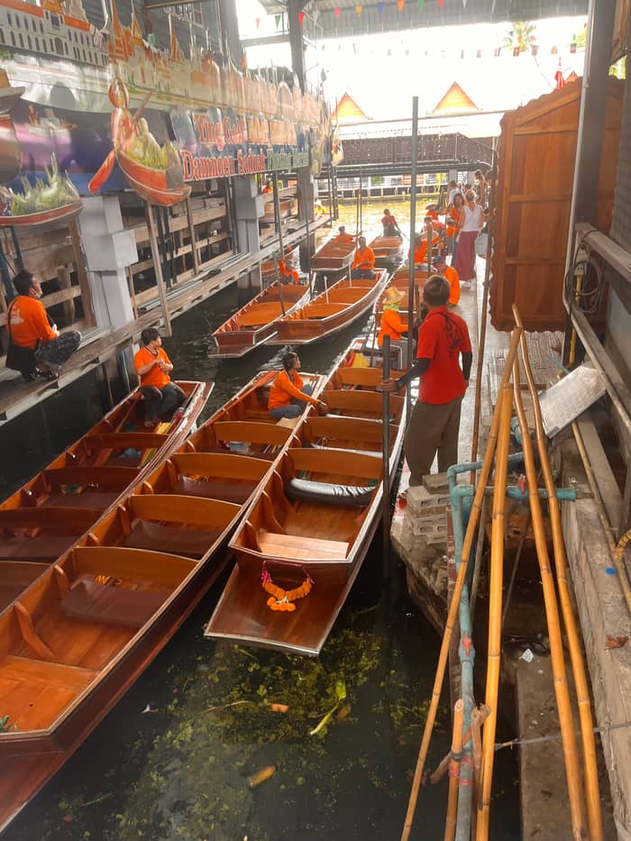
Shops and the bus stop
The visit
Boats, stalls, canals
See the tours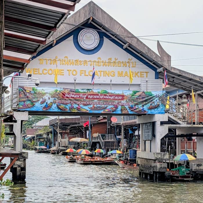
The landscape
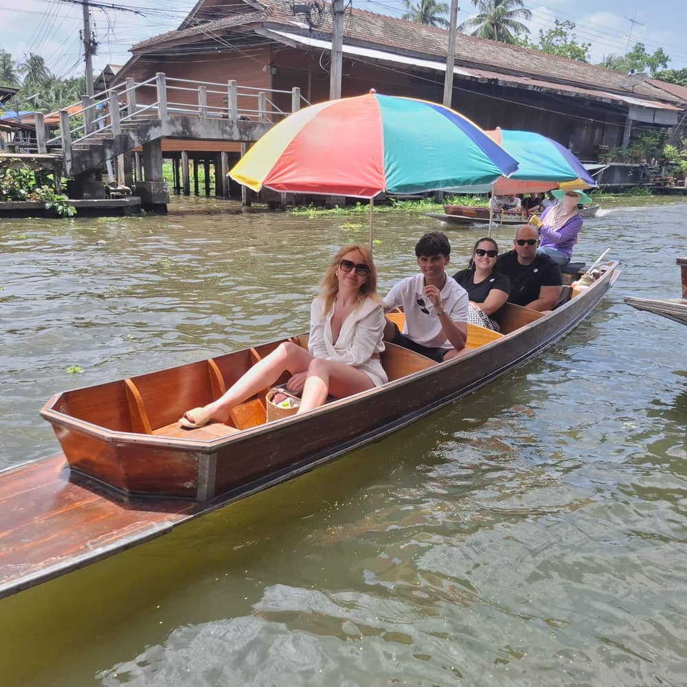
Side canals and gardens
See the toursTo place Damnoen Saduak inside the province, start with the provincial town. The Ratchaburi National Museum there occupies a building that was formerly the town hall, built in 1922,11 and it was established as a museum in 1988 to display art and antiquities from the Ratchaburi area across different eras.23 On the map it sits well to the west of the market, which gives a feel for how far the province extends beyond the canals.
Another pin marks the Nang Yai Museum at Wat Khanon, a Thai-style house devoted to the large shadow puppets, their history and their making.21 TAT counts 313 complete Nang Yai puppets there, most of them characters from the Ramayana.12 It lies north of the market and needs a separate trip and is not a stop on the way. Treat it as a sign of how varied the province is, and not as part of the market visit itself.
Further inland, TAT's list also holds a national park, a wildlife sanctuary and Chom Phon Cave, which was renamed during a royal visit in 1895.24,25 They lie further inland and do not belong on the market map, so this page leaves them off the pins. If you are planning a longer stay in Ratchaburi, those are the names to look up on the official tourism pages before you choose a base.
Same map, different day
Choose a group size and see the cost of each day tour that reaches the market.
Weigh up 4 options
Choose a group size and see the cost of each day tour that reaches the market.
≈
View≈
View≈
View≈
ViewCurrency conversion uses the ECB reference rate on GetYourGuide from-prices. The exact price is displayed when you book.
The distance as a day
Early start
Hotel pickups on the site tour begin at 5:50 AM.
Morning
A coach of 1.5 hours carries the group out of the city.
Mid-morning
The Maeklong stop, 1.5 hours, includes a panoramic ride by train.
Late morning
The group reaches the floating market by paddleboat.
Midday
1.5 hours at the Damnoen Saduak Floating Market.
Afternoon
A coach of 1.5 hours returns to Bangkok.
Amphawa and the Maeklong Railway Market both lie across the provincial line in Samut Songkhram, and this guide keeps to a few lines each. Amphawa trades from Friday to Sunday, afternoon into evening,10 and TAT's Samut Songkhram feature calls it probably the best known market of the province, with fewer group tours than Damnoen Saduak.26 On the map it lies due south of the floating market.
The Maeklong Railway Market is the other market of the combined day tours, and it appears in listings beside Damnoen Saduak. It sits south-east of the floating market in Samut Songkhram, on the other side of the provincial line, and a combined day does the drive between them in a single leg. Its own timings, the awning routine and the train times belong to a separate guide, and this page only uses it to anchor the map.
Seen together, the floating market, Amphawa and Maeklong form a loose triangle that a single regional guide can cover, yet they behave differently. Damnoen Saduak is a morning market on the canals, active early, according to TAT.3 Amphawa is a Friday to Sunday market that fills from the afternoon.10 The railway market has its own daily pattern. Choosing between them, or combining them, is easier once you have the map in your head.
Video
Walkzilla Journey on YouTube · Until you tap play, no video is loaded.
it has recovered recently and now feels more like a working Thai floating market catering to a local clientele
Before you pin it
On a day tour the geography becomes a schedule, and the Damnoen Saduak floating market map on this page is the route. The site's own day runs 7.5 hours in all: 1.5 hours on the coach out, 1.5 hours at the Maeklong Railway Market including a panoramic ride by train, 1.5 hours at the Damnoen Saduak Floating Market, reached by paddleboat, then 1.5 hours back. Hotel pickups start at 5:50 AM for a return around 1:30 PM, while later departures leave at 8:00 AM or at 9:00 AM and return in the mid-afternoon.
Other listings cut the same ground differently. A private listing spends 20 minutes at a sugar-making stop, takes a 15 minute paddle-boat ride and gives the floating market 2 hours, while another gives the floating market 1 hour after a coach of 2 hours and a 40 minute long-tail ride. Read the stops and the minutes, not only the title, to see how much of your day is spent travelling and how much is spent at the water.
Start points differ too. A combined listing meets in downtown Bangkok at 6:30 AM and gets back around 1:30 to 2:00 PM, and another starts at Banglamphu Square, I'm Chinatown or the Erawan Shrine. Which pin on the Bangkok side matters to you depends on where you sleep. Check the meeting point of the exact option before you pay. The map's last panel shows the road from Bangkok for anyone planning to arrive without a tour.
FAQ
TAT places Ratchaburi 80 km west of Bangkok and describes it as bordering Myanmar.1
A traditional floating market beside the main one, with a floating market museum of its own.5
The site's listing counts 1.5 hours of coach travel out and the same back.
Sources
Heading to Damnoen Saduak? Ask a real person here.